 TerrainPlot
Software for land surveyors
We turn survey records into CAD geometry.
Drop in the whole record. TerrainPlot finds the legal descriptions, aliquot parts, and maps or plats, draws each as checkable geometry, and gets it ready for CAD...
automatically, in minutes
Tap any underlined phrase.
Records in
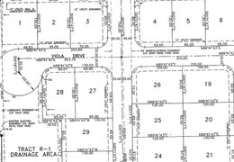
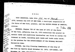
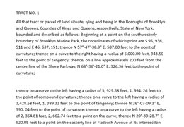
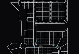
CAD out
Drop in the whole record.
PDF, .doc, .tiff, .jpeg... As a single file, or entire folder. 200 page title package. Messy records work, too, even if they’re scans or cursive.
TerrainPlot finds.
We’ll find every legal description, plat, and bit of geodata across the document. Linked and marked so you can always see the source.
The legal descriptions.
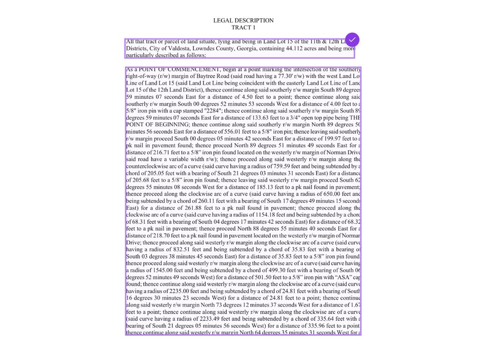
Turn a metes-and-bounds description into geometry, including everything called out or annotated in the description: monuments, annotations, tie lines.
Aliquot parts.
Turn an aliquot description into the right shape and georeference it using public section data.
Maps or plats.
Turn drawings—whether handwritten or printed—into full geometry based on the bearings, distances, and curves in the sheet. No traced image.
Draws each as checkable geometry.
All geometry is editable and linked back to its source within the original file. TerrainPlot flags uncertainties and unknowns inside the software and shows you closure.
Gets it ready for CAD.
Export a DXF of one shape or a combined export of many. Use the export settings to customize the result to your own CAD standards and preferences.
Runs automatically - editable CAD back in your inbox within one business day. No signup or card required.









“TerrainPlot is a wonderful product that saves our team a lot of time and effort. It is very easy to use, and the TerrainPlot team is always there to support! Great platform all around!”
How it works
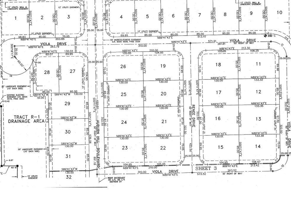
Plats and maps into geometry
Recorded plats, subdivision maps, right-of-way plans, tract maps.
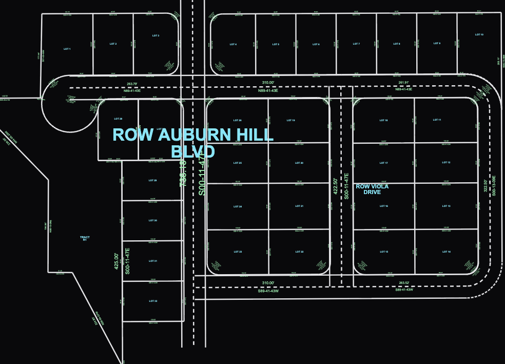 TerrainPlot redraw
TerrainPlot reads the sheet: lot lines, bearings and distances, curves, labels, centerlines, curve/line tables - and draws it as real geometry (not traced lines). We show you misclosures, gaps/gores, and link everything so that reviewing is quick and easy.
Metes and bounds into geometry
Deeds, easements, right-of-way descriptions, exhibits, title commitments.
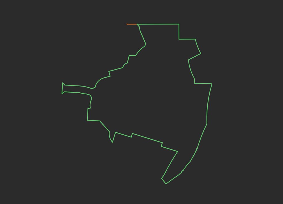 TerrainPlot geometry
There are plenty of deed plotters out there. Here is why we are different:
- Just drop in a file.
- No need to type anything, or worry about file type. We’ll find any legal descriptions, plot them all, and give you downloadable .dxf and closure reports.
- We’re good at messy docs and complicated legals.
- Cursive, scans of scans, weird curves... We can’t read the unreadable, but this is the thing people tell us we’re best at.
- Everything links to the source.
- Click on any line to see exactly where it came from in the document for quick review. Software flags if it’s less sure.
- A solver when shapes don’t close.
- If a shape doesn’t close, it looks for flipped bearings and transposed digits, and shows you an exact before/after if you want to make a change.
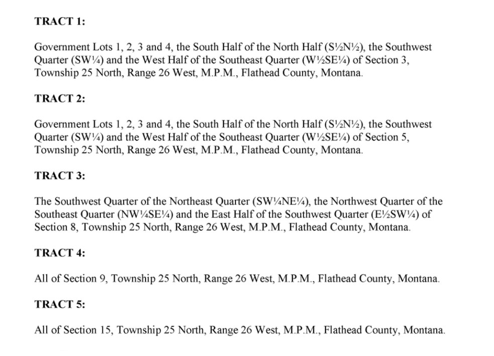
Aliquot parts into geometry
Quarter and quarter-quarter calls, government lots, section subdivisions.
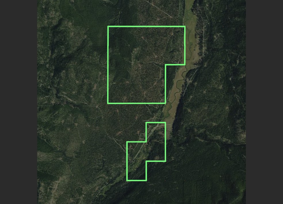 TerrainPlot geometry
Turn an aliquot description into the right shape and georeference it using public section data.
- It reads everything
- Township, range, section, quarter and quarter-quarter calls. Nothing to type in.
- Does the aliquot part math
- The W1/2 of the S1/2 of the section, the government lot, or combinations.
- Places it where it belongs
- We use BLM public data to geo-reference the shape and show it over map tiles
Pricing
Subscription for core platform: priced per device* - $125 per month, or $1,125 a year.
What you get:
- Unlimited document uploads
- Unlimited plotting for metes & bounds
- Unlimited plotting for aliquot parts
- Export closure reports and .dxf
- First month includes $100 plat balance
- 1:1 working session on your live projects to get you started
Pay-per-use for plats and maps: each map or plat redraw priced on complexity, most cost $10-60. It’s free to trigger a redraw job, only pay to export if the output meets your standards.
Many devices, offices, or just high-volume for plats? for enterprise and team pricing.
* Per device is independent of number of accounts or concurrent users.
Why TerrainPlot
Talk to a person
We are super responsive. Call (520) 540-0033, email help@terrainplot.com, or use the in-app chat.
Nothing to install or maintain
TerrainPlot runs in your browser. No download, no license keys, no versioning, you have each update the moment we ship it.
Requests handled this week, not next quarter
We ship updates and modules all the time. Any issues get fixed right away, not on a quarterly release schedule.
Bring us the plat you’d hate to redraw.
We’ll redraw it free - so you judge us on your own work, not our demo reel. If the bearings and distances are on the page, we’ll take it from there.
1. Send any document
A recorded plat, a deed, title work - the one you dread.
2. We redraw it
Plotted, stitched, and closure-checked - the whole sheet.
3. Back within one business day
The redraw plus a closure report, in your inbox.